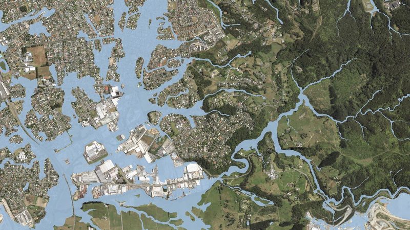
After Auckland's 2023 floods, Plan Change 120 overhauled how hazard risk is assessed β and it now appears on every LIM report. Check 7 hazard layers against your property in seconds, assessed using the same data sources as professional engineering reports.
900+ Auckland properties assessed Β· Built by civil engineers Β· Data current to April 2026
Enter your Auckland address below β preview is free, no account needed
From address to comprehensive hazard intelligence in under a minute
Enter any Auckland address. We match it against 7 natural hazard datasets from official sources in real time.
See detected hazards on an interactive map with colour-coded risk levels β instantly, for free.
Pay once and receive a professional PDF report with detailed findings, engineering context, and mitigation strategies.
Use your report for purchase negotiations, insurance, consent applications, or due diligence.
We aggregate from trusted government and scientific sources, updated regularly
Guides & Resources
View all guides βMarch 2026
PC120's natural hazard rules are already in force. Here's what that means for flood zones, landslide areas, coastal properties, and what to check before you buy.
#pc120
March 2026
The Flood Viewer has had 500,000+ views β but what are the four layers, what do they mean, and what should you do if your property shows up?
#floodmaps
March 2026
Auckland Council mapped the entire region for landslide susceptibility in 2025. Every property has a classification. Here's what the five levels mean and when to worry.
#landslide